

DCS World: Normandy 2.0
DLC
Résumé
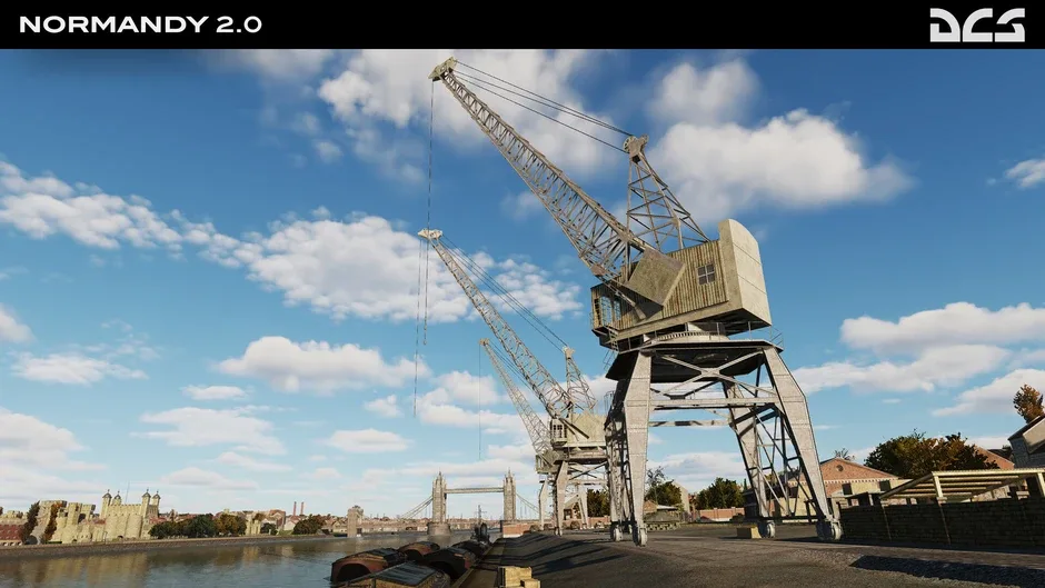
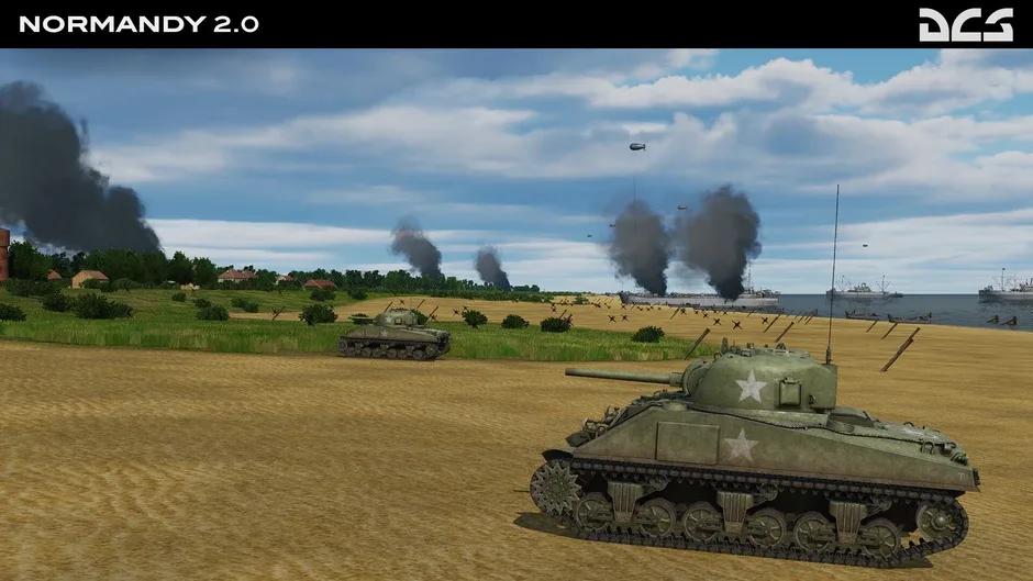
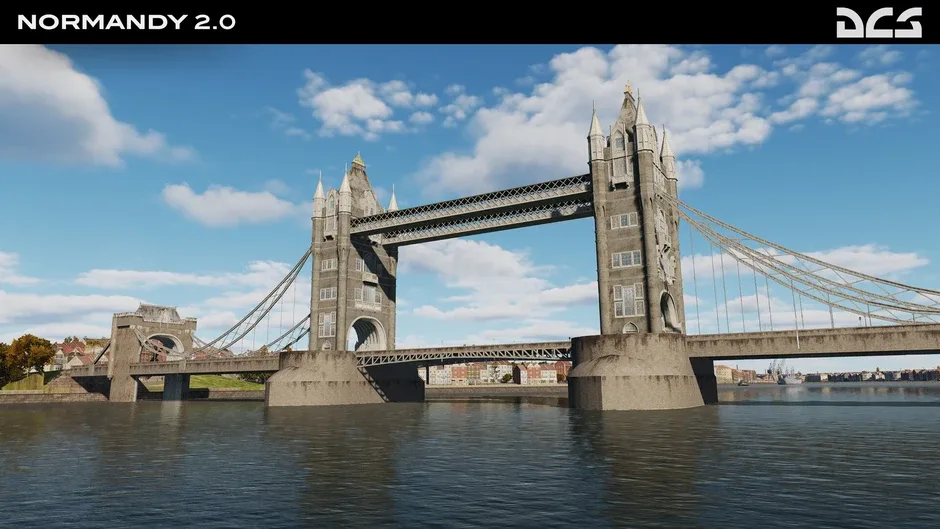
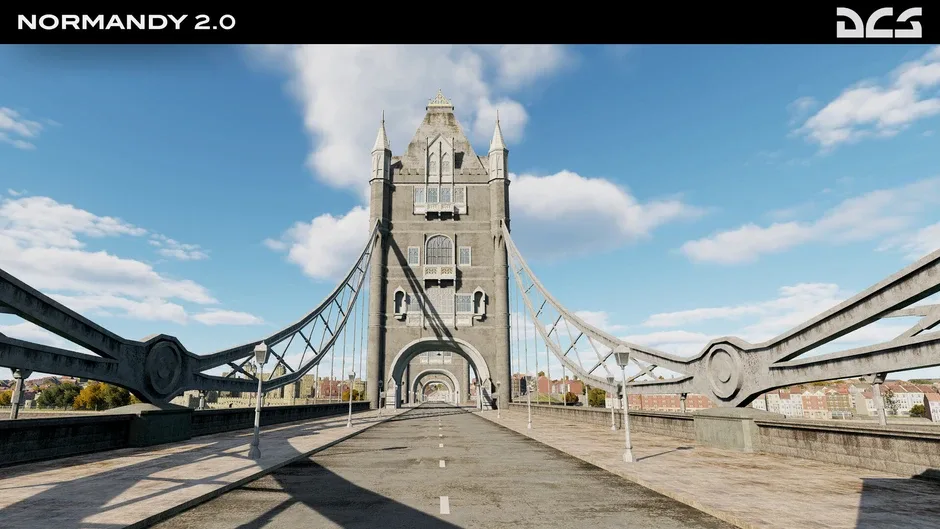
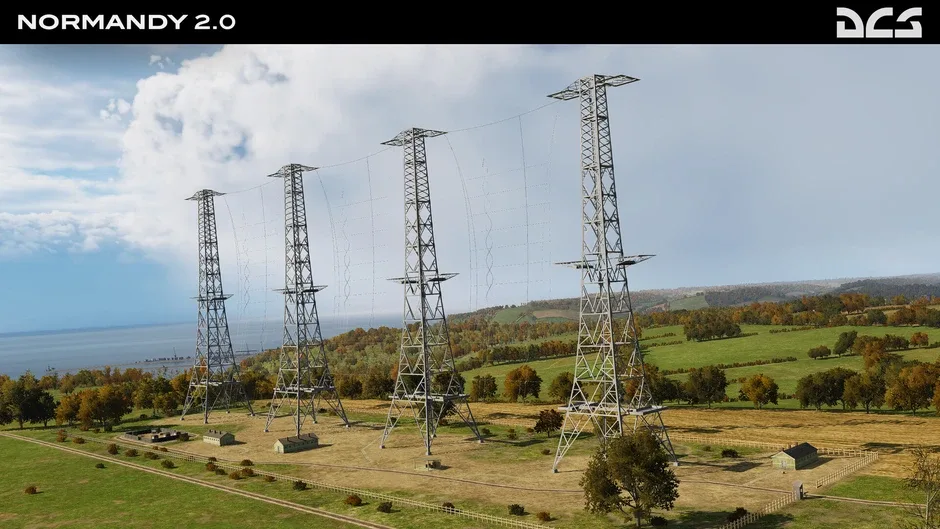
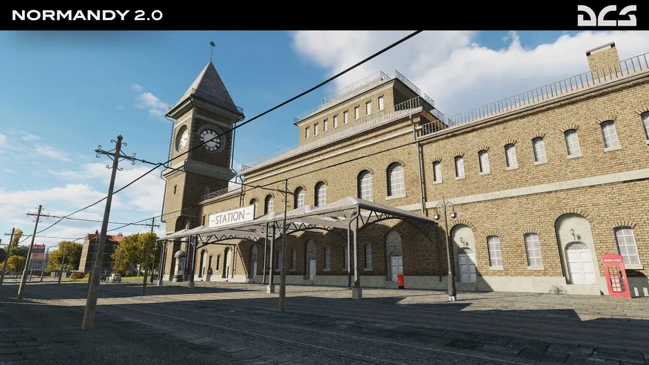
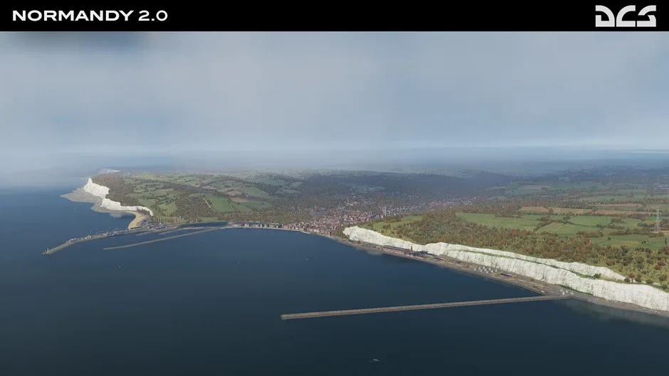
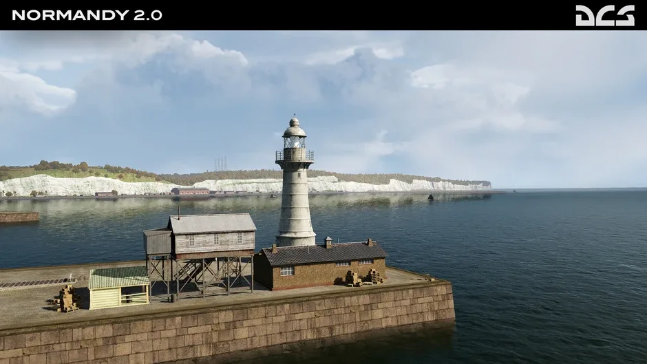
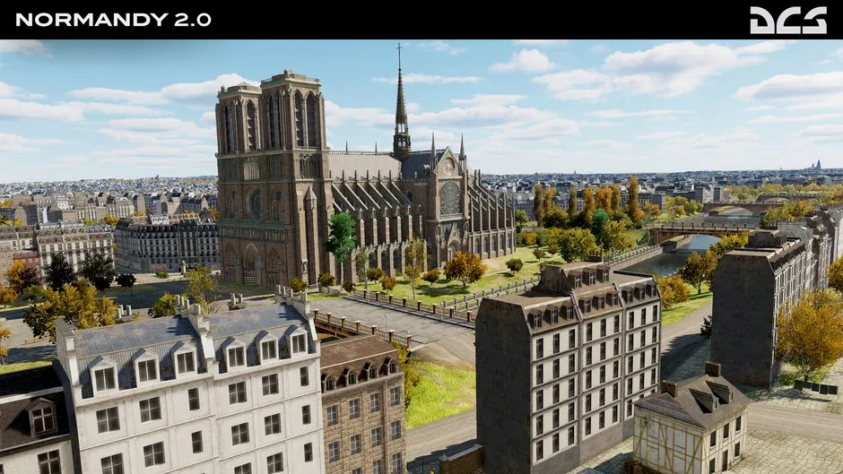
DCS: Normandy 2.0 includes large parts of the territory of France and Great Britain, including the capitals of these countries - Paris and London. The map also reproduces in detail the largest cities in this region - English Eastbourne, Brighton, Worthing, Portsmouth and French Caen, Le Havre, Rouen, Amiens and Calais. The coast on both sides of the English Channel, including sea and river ports, has been recreated in detail. The size of the map is 400/600 kilometers.
Date de sortie :
1 / 10
Éditeur :
Plateforme
Genre
Critiques de DCS World: Normandy 2.0
Sois le premier à partager ton avis sur DCS World: Normandy 2.0.
Partage ton avis avec la communauté
Jeux de la série Digital Combat Simulator

Simulation

Simulation
Simulation
Simulation
Simulation

Commentaires
Aucun commentaire pour « DCS World: Normandy 2.0 ». Sois le premier à réagir.
Lance ton propre fil de discussion ou réagis à un commentaire